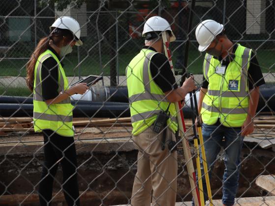
The Geotechnical Team leverages the use of multiple geographic, geological and scientific technologies to obtain, analyze, and disseminate information regarding the physical properties of interior infrastructures, the earth, soils, foundations, and subsurface structures for the purposes of investigating and evaluating their condition, location, integrity and interactivity. The Geotechnical team develops and maintains geographically enriched information systems that allow users to interact with critical datasets through a map-centric environment. Those products are used campus wide to support departments such as Network Infrastructure, Utilities and Energy Management, Capital Projects Management Division, and Grounds.
The Geotechnical team, along with counterparts in the Geospatial team, has received international recognition from the Environmental Science Research Institute for industry leading efforts in consolidating technologies that harness the power of geographic information. Those efforts continue today as they incessantly seek opportunity for improvement of their products and services to meet the needs of students, faculty and staff.

